 vesseltracker.com
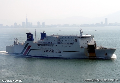
Vessel New Camellia IMO: 9304497, MMSI: 431602232 Passenger Ro Ro Cargo Ship
UTC, 34.02536, 130.03139, course: 333, speed: 14.1
UTC, 34.30295, 129.84853, course: 332, speed: 13.9
2026-03-14 18:05:43 UTC, 34.87468, 129.39886, course: 315, speed: 14.2
Live Vessel New Camellia Analytics (details, animations, etc.)
Live AIS position: UTC. 14 nm N of HITAKATSU), updated 2026-03-14 18:05:43 UTC.Find the position of the vessel New Camellia on the map. The latter are known coordinates and path.
marine traffic ship tracker show on live map
The current position of vessel New Camellia is 34.87468 lat / 129.39886 lng. Updated: 2026-03-14 18:05:43 UTCCurrently sailing under the flag of Japan
New Camellia built in 2004 year
Deadweight:
4642 tDetails:
Last coordinates of the vessel:
UTC, 33.62788, 130.36147, course: 295, speed: 15.5UTC, 34.02536, 130.03139, course: 333, speed: 14.1
UTC, 34.30295, 129.84853, course: 332, speed: 13.9
2026-03-14 18:05:43 UTC, 34.87468, 129.39886, course: 315, speed: 14.2