 vesseltracker.com
 DAEHO JEJU
Current Status
Where is the vessel?
DAEHO JEJU is currently in Near Gamcheon/Busan, based on AIS data received about 13h ago.
Latest AIS update:
Current position: 35.05054° N, 129.00047° E (Near Gamcheon/Busan)
Average speed (last 7 days): Loading…
Average speed (last 30 days): Loading…
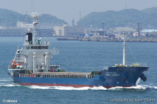
Vessel profile: DAEHO JEJU is a General Cargo Ship with dimensions 13m x 85m.
This page combines live AIS, route history, probable destination signals, nearby traffic, and port activity for practical vessel monitoring.
The current position of vessel DAEHO JEJU is 35.05054 lat / 129.00047 lng. Updated: 2026-04-10 08:22:11 UTCNearest reference points:
- Near Gamcheon/Busan
- Near Busan
- Near BUSAN NEW PORT
Currently sailing under the flag of Korea (Republic of) ![]()
DAEHO JEJU built in 2008 year
Deadweight:
3609 tDetails:
Live Vessel DAEHO JEJU Analytics (details, animations, etc.)
Recent AIS points (UTC):
2026-04-09 06:07:32 UTC · 35.05053, 129.00052 · SOG 0 kn · COG -1°2026-04-10 03:55:22 UTC · 35.05051, 129.00050 · SOG 0 kn · COG 253°
2026-04-10 05:45:00 UTC · 35.05053, 129.00050 · SOG 0 kn · COG 255°
2026-04-10 08:22:11 UTC · 35.05054, 129.00047 · SOG 0 kn · COG 255°