 vesseltracker.com
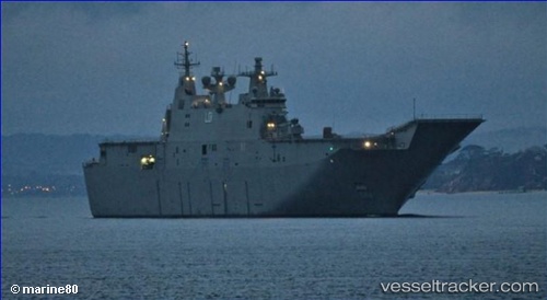
Vessel Warship Adelaide IMO: 9608972, MMSI: 503000021 Landing Craft
UTC, -33.86277, 151.22479, course: 22, speed: 0.1
UTC, -33.86333, 151.22501, course: -1, speed: 0
UTC, -33.86333, 151.22501, course: -1, speed: 0
2026-02-15 22:41:41 UTC, -33.86333, 151.22501, course: -1, speed: 0
Live AIS position:
UTC. Near Darling Point),
updated 2026-02-15 22:41:41 UTC.
Find the position of the vessel Warship Adelaide on the map. The latter are known coordinates and path.
marine traffic ship tracker show on live map
The current position of vessel Warship Adelaide is -33.86333 lat / 151.22501 lng. Updated: 2026-02-15 22:41:41 UTCDetails:
Last coordinates of the vessel:
UTC, -33.85854, 151.22536, course: 164, speed: 0.7UTC, -33.86277, 151.22479, course: 22, speed: 0.1
UTC, -33.86333, 151.22501, course: -1, speed: 0
UTC, -33.86333, 151.22501, course: -1, speed: 0
2026-02-15 22:41:41 UTC, -33.86333, 151.22501, course: -1, speed: 0