 vesseltracker.com
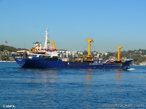
Find the position of the vessel KARADENIZ 5 on the map. The latter are known coordinates and path.
marine traffic ship tracker show on live map
The current position of vessel KARADENIZ 5 is 41.009436666667 lat / 29.008463333333 lng. Updated: 2025-10-24 21:02:49 UTCCurrently sailing under the flag of Palau (Republic of)
KARADENIZ 5 built in 1981 year
Deadweight:
1875 tDetails:
Last coordinates of the vessel:
UTC, 41.00945, 29.008493333333, course: -1, speed: 0UTC, 41.009416666667, 29.008458333333, course: -1, speed: 0
UTC, 41.009445, 29.008456666667, course: -1, speed: 0
2025-10-24 21:02:49 UTC, 41.009436666667, 29.008463333333, course: -1, speed: 0