 vesseltracker.com
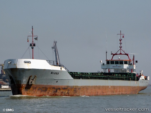
Vessel Blues IMO: 8901030, MMSI: 518915000 Multi Purpose Carrier
UTC, 44.24635, 28.30104, course: 293, speed: 0
UTC, 44.24635, 28.30104, course: 293, speed: 0
2026-01-18 17:16:54 UTC, 44.24635, 28.30104, course: 293, speed: 0
Live AIS position:
UTC. Near Medgidia),
updated 2026-01-18 17:16:54 UTC.
Find the position of the vessel Blues on the map. The latter are known coordinates and path.
marine traffic ship tracker show on live map
The current position of vessel Blues is 44.24635 lat / 28.30104 lng. Updated: 2026-01-18 17:16:54 UTCCurrently sailing under the flag of Cook Is
Blues built in 1990 year
Deadweight:
3774 tDetails:
Last coordinates of the vessel:
UTC, 44.24635, 28.30104, course: 293, speed: 0UTC, 44.24635, 28.30104, course: 293, speed: 0
UTC, 44.24635, 28.30104, course: 293, speed: 0
2026-01-18 17:16:54 UTC, 44.24635, 28.30104, course: 293, speed: 0