 vesseltracker.com
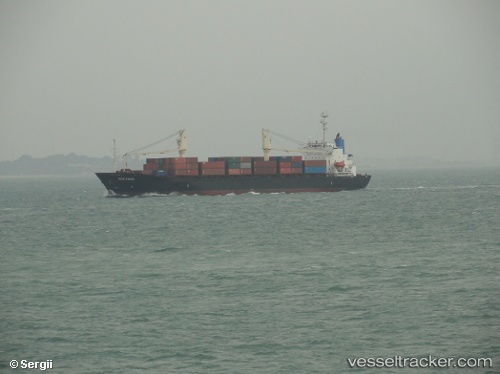
Vessel Verizon IMO: 9109988, MMSI: 525005339 Container Ship
UTC, -4.92135, 115.53842, course: -1, speed: 12.3
UTC, -4.92135, 115.53842, course: -1, speed: 12.3
2026-02-05 01:19:20 UTC, -4.45861, 116.26114, course: -1, speed: 12.8
Live AIS position:
UTC. 29 nm SE of MEKAR PUTIH),
updated 2026-02-05 01:19:20 UTC.
Find the position of the vessel Verizon on the map. The latter are known coordinates and path.
marine traffic ship tracker show on live map
The current position of vessel Verizon is -4.45861 lat / 116.26114 lng. Updated: 2026-02-05 01:19:20 UTCDetails:
Last coordinates of the vessel:
UTC, -5.12740, 115.21481, course: -1, speed: 12.9UTC, -4.92135, 115.53842, course: -1, speed: 12.3
UTC, -4.92135, 115.53842, course: -1, speed: 12.3
2026-02-05 01:19:20 UTC, -4.45861, 116.26114, course: -1, speed: 12.8