 vesseltracker.com
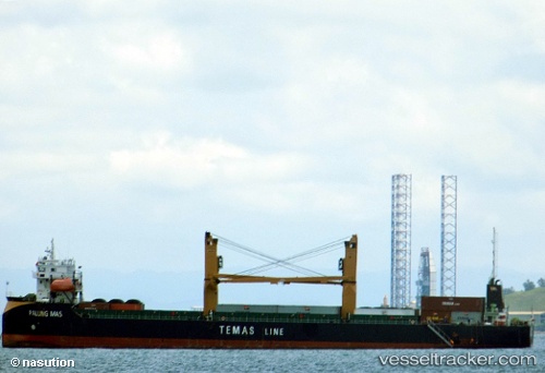
Palung Mas
Current StatusWhere is the vessel?
Palung Mas is currently in Near Semper, based on AIS data received less than 1h ago.
Latest AIS update:
Current position: 6.10382° S, 106.91030° E (Near Semper)
Average speed (last 7 days): Loading…
Average speed (last 30 days): Loading…
Vessel profile: Palung Mas is a Container Ship with dimensions 18m x 108m.
This page combines live AIS, route history, probable destination signals, nearby traffic, and port activity for practical vessel monitoring.
The current position of vessel Palung Mas is -6.10382 lat / 106.91030 lng. Updated: 2026-04-07 23:34:16 UTCNearest reference points:
- Near Jakarta
- Near New Priok Port
- Near Ancol
Details:
Live Vessel Palung Mas Analytics (details, animations, etc.)
Recent AIS points (UTC):
2026-04-07 02:08:29 UTC · -6.10377, 106.91033 · SOG 1.6 kn · COG -1°2026-04-07 20:16:02 UTC · -6.10379, 106.91033 · SOG 1.3 kn · COG -1°
2026-04-07 21:59:53 UTC · -6.10379, 106.91032 · SOG 0.9 kn · COG -1°
2026-04-07 23:34:16 UTC · -6.10382, 106.91030 · SOG 0.2 kn · COG -1°