 vesseltracker.com
 Tanja Rickmers
Current Status
Where is the vessel?
Tanja Rickmers is currently in Near Port Raysut, based on AIS data received less than 1h ago.
Latest AIS update:
Current position: 16.89956° N, 54.02216° E (Near Port Raysut)
Average speed (last 7 days): Loading…
Average speed (last 30 days): Loading…
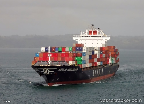
Vessel profile: Tanja Rickmers is a Container Ship with dimensions 261m x 32m.
This page combines live AIS, route history, probable destination signals, nearby traffic, and port activity for practical vessel monitoring.
The current position of vessel Tanja Rickmers is 16.89956 lat / 54.02216 lng. Updated: 2026-04-07 22:18:18 UTCNearest reference points:
- 103 nm S of Port Raysut
- 106 nm S of Port Raysut
- 110 nm NE of Gross Koris
Currently sailing under the flag of Marshall Is ![]()
Tanja Rickmers built in 2009 year
Deadweight:
50591 tDetails:
Live Vessel Tanja Rickmers Analytics (details, animations, etc.)
Recent AIS points (UTC):
2026-04-07 15:52:41 UTC · 16.90218, 54.02504 · SOG 0.6 kn · COG -1°2026-04-07 17:20:38 UTC · 16.90167, 54.02333 · SOG 0 kn · COG -1°
2026-04-07 20:03:05 UTC · 16.90296, 54.02330 · SOG 0.5 kn · COG -1°
2026-04-07 22:18:18 UTC · 16.89956, 54.02216 · SOG 0.6 kn · COG -1°