 vesseltracker.com
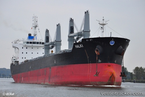
Vessel Halki IMO: 9543419, MMSI: 538004361 Bulk Carrier
UTC, 51.88909, 4.27245, course: 342, speed: 0
UTC, 51.88914, 4.27247, course: 342, speed: 0
2026-01-28 07:55:53 UTC, 51.88910, 4.27251, course: 343, speed: 0
Live AIS position:
UTC. Near Botlek),
updated 2026-01-28 07:55:53 UTC.
Find the position of the vessel Halki on the map. The latter are known coordinates and path.
marine traffic ship tracker show on live map
The current position of vessel Halki is 51.88910 lat / 4.27251 lng. Updated: 2026-01-28 07:55:53 UTCDetails:
Last coordinates of the vessel:
UTC, 51.88913, 4.27247, course: 343, speed: 0UTC, 51.88909, 4.27245, course: 342, speed: 0
UTC, 51.88914, 4.27247, course: 342, speed: 0
2026-01-28 07:55:53 UTC, 51.88910, 4.27251, course: 343, speed: 0