 vesseltracker.com
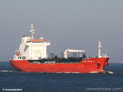
River Oak
Current StatusWhere is the vessel?
River Oak is currently in Near WALVIS BAY, based on AIS data received less than 1h ago.
Latest AIS update:
Current position: 22.88635° S, 14.45922° E (Near WALVIS BAY)
Average speed (last 7 days): Loading…
Average speed (last 30 days): Loading…
Vessel profile: River Oak is a Chemical Oil Products Tanker with dimensions 20m x 128m.
This page combines live AIS, route history, probable destination signals, nearby traffic, and port activity for practical vessel monitoring.
The current position of vessel River Oak is -22.88635 lat / 14.45922 lng. Updated: 2026-04-03 02:17:06 UTCNearest reference points:
- Near WALVIS BAY
Details:
Live Vessel River Oak Analytics (details, animations, etc.)
Recent AIS points (UTC):
2026-04-02 19:44:07 UTC · -22.88588, 14.45995 · SOG 0 kn · COG 175°2026-04-02 21:47:08 UTC · -22.88585, 14.46013 · SOG 0 kn · COG 180°
2026-04-03 00:08:07 UTC · -22.88663, 14.45893 · SOG 0 kn · COG 102°
2026-04-03 02:17:06 UTC · -22.88635, 14.45922 · SOG 0 kn · COG 124°