 vesseltracker.com
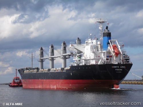
Vessel Sagittarius IMO: 9550254, MMSI: 538005936 Bulk Carrier
UTC, 36.50497, 23.02293, course: 54, speed: 0.5
UTC, 36.50442, 23.02357, course: 12, speed: 0.6
2026-01-18 21:15:54 UTC, 36.50457, 23.02363, course: 13, speed: 0.7
Live AIS position:
UTC. Near Vatika Bay),
updated 2026-01-18 21:15:54 UTC.
Find the position of the vessel Sagittarius on the map. The latter are known coordinates and path.
marine traffic ship tracker show on live map
The current position of vessel Sagittarius is 36.50457 lat / 23.02363 lng. Updated: 2026-01-18 21:15:54 UTCCurrently sailing under the flag of Marshall Is
Sagittarius built in 2010 year
Deadweight:
28508 tDetails:
Last coordinates of the vessel:
UTC, 36.50470, 23.02345, course: 47, speed: 0.4UTC, 36.50497, 23.02293, course: 54, speed: 0.5
UTC, 36.50442, 23.02357, course: 12, speed: 0.6
2026-01-18 21:15:54 UTC, 36.50457, 23.02363, course: 13, speed: 0.7