 vesseltracker.com
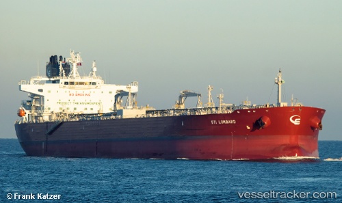
Vessel Sti Lombard IMO: 9708150, MMSI: 538006344 Crude Oil Tanker
UTC, 30.70201, 18.37902, course: 163, speed: 2.9
UTC, 30.66646, 18.42224, course: 191, speed: 0.2
2026-02-20 06:31:21 UTC, 30.66666, 18.42226, course: 193, speed: 0.2
Live AIS position:
UTC. Near Es Sider),
updated 2026-02-20 06:31:21 UTC.
Find the position of the vessel Sti Lombard on the map. The latter are known coordinates and path.
marine traffic ship tracker show on live map
The current position of vessel Sti Lombard is 30.66666 lat / 18.42226 lng. Updated: 2026-02-20 06:31:21 UTCCurrently sailing under the flag of Marshall Is
Details:
Last coordinates of the vessel:
UTC, 30.70505, 18.37867, course: 173, speed: 0UTC, 30.70201, 18.37902, course: 163, speed: 2.9
UTC, 30.66646, 18.42224, course: 191, speed: 0.2
2026-02-20 06:31:21 UTC, 30.66666, 18.42226, course: 193, speed: 0.2