 vesseltracker.com
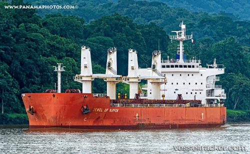
Vessel Tassos N IMO: 9476288, MMSI: 538007718 Bulk Carrier
UTC, 34.52995, 11.61197, course: 68, speed: 13.5
UTC, 34.63062, 11.92187, course: 67, speed: 13.3
2026-01-29 16:04:05 UTC, 35.06008, 12.10025, course: 351, speed: 12.9
Live AIS position:
UTC. 31 nm NW of Isis),
updated 2026-01-29 16:04:05 UTC.
Find the position of the vessel Tassos N on the map. The latter are known coordinates and path.
marine traffic ship tracker show on live map
The current position of vessel Tassos N is 35.06008 lat / 12.10025 lng. Updated: 2026-01-29 16:04:05 UTCCurrently sailing under the flag of Marshall Is
Tassos N built in 2009 year
Deadweight:
56300 tDetails:
Last coordinates of the vessel:
UTC, 34.33488, 11.03491, course: 72, speed: 13.3UTC, 34.52995, 11.61197, course: 68, speed: 13.5
UTC, 34.63062, 11.92187, course: 67, speed: 13.3
2026-01-29 16:04:05 UTC, 35.06008, 12.10025, course: 351, speed: 12.9