 vesseltracker.com
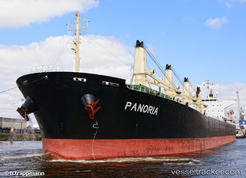
 Panoria
Current Status
Where is the vessel?
Panoria is currently in 12 nm N of SILE, based on AIS data received about 4d ago.
Latest AIS update:
Current position: 41.37188° N, 29.63383° E (12 nm N of SILE)
Average speed (last 7 days): Loading…
Average speed (last 30 days): Loading…
Vessel profile: Panoria is a Bulk Carrier with dimensions 190m x 32m.
This page combines live AIS, route history, probable destination signals, nearby traffic, and port activity for practical vessel monitoring.
The current position of vessel Panoria is 41.37188 lat / 29.63383 lng. Updated: 2026-04-04 15:13:10 UTCNearest reference points:
- 19 nm NE of RUMELI FENERI
- Near RUMELI FENERI
- 45 nm N of RUMELI FENERI
Currently sailing under the flag of Marshall Is ![]()
Panoria built in 2008 year
Deadweight:
53514 tDetails:
Live Vessel Panoria Analytics (details, animations, etc.)
Recent AIS points (UTC):
2026-04-04 14:20:01 UTC · 41.31613, 29.40770 · SOG 11.8 kn · COG 70°2026-04-04 15:13:10 UTC · 41.37188, 29.63383 · SOG 12.3 kn · COG 63°
2026-04-04 15:13:10 UTC · 41.37188, 29.63383 · SOG 12.3 kn · COG 63°
2026-04-04 15:13:10 UTC · 41.37188, 29.63383 · SOG 12.3 kn · COG 63°