 vesseltracker.com
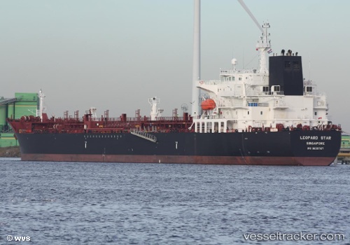
Elandra Star
Current StatusWhere is the vessel?
Elandra Star is currently in 13 nm W of Obidos, based on AIS data received less than 1h ago.
Latest AIS update:
Current position: 1.95951° S, 55.73451° W (13 nm W of Obidos)
Average speed (last 7 days): Loading…
Average speed (last 30 days): Loading…
Vessel profile: Elandra Star is a Chemical Oil Products Tanker with dimensions 32m x 183m.
This page combines live AIS, route history, probable destination signals, nearby traffic, and port activity for practical vessel monitoring.
The current position of vessel Elandra Star is -1.95951 lat / -55.73451 lng. Updated: 2026-04-07 05:53:24 UTCNearest reference points:
- 15 nm NW of SANTAREM
Details:
Live Vessel Elandra Star Analytics (details, animations, etc.)
Recent AIS points (UTC):
2026-04-07 00:04:50 UTC · -2.19480, -54.97966 · SOG 8.5 kn · COG 225°2026-04-07 02:20:05 UTC · -2.12724, -55.29594 · SOG 9.1 kn · COG 296°
2026-04-07 04:02:13 UTC · -1.95944, -55.48856 · SOG 9.3 kn · COG 316°
2026-04-07 05:53:24 UTC · -1.95951, -55.73451 · SOG 9.3 kn · COG 248°