 vesseltracker.com
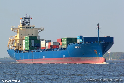
Vessel ARIANA A IMO: 9320142, MMSI: 538009388 Container Ship
UTC, 43.41686, 4.83669, course: -1, speed: 0
UTC, 43.41684, 4.83672, course: 311, speed: 0
2026-03-15 21:22:51 UTC, 43.41687, 4.83675, course: 311, speed: 0
Live Vessel ARIANA A Analytics (details, animations, etc.)
Live AIS position: UTC. Near SAINT LOUIS DU RHONE), updated 2026-03-15 21:22:51 UTC.Find the position of the vessel ARIANA A on the map. The latter are known coordinates and path.
marine traffic ship tracker show on live map
The current position of vessel ARIANA A is 43.41687 lat / 4.83675 lng. Updated: 2026-03-15 21:22:51 UTCCurrently sailing under the flag of Marshall Islands
ARIANA A built in 2005 year
Deadweight:
38117 tDetails:
Last coordinates of the vessel:
UTC, 43.41683, 4.83673, course: 310, speed: 0UTC, 43.41686, 4.83669, course: -1, speed: 0
UTC, 43.41684, 4.83672, course: 311, speed: 0
2026-03-15 21:22:51 UTC, 43.41687, 4.83675, course: 311, speed: 0