 vesseltracker.com
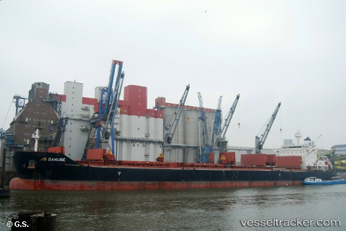
 DARYA MAYA
Current Status
Where is the vessel?
DARYA MAYA is currently in Near Bassens, based on AIS data received about 1h ago.
Latest AIS update:
Current position: 44.91034° N, 0.54129° W (Near Bassens)
Average speed (last 7 days): Loading…
Average speed (last 30 days): Loading…
Vessel profile: DARYA MAYA is a Bulk Carrier with dimensions 32m x 199m.
This page combines live AIS, route history, probable destination signals, nearby traffic, and port activity for practical vessel monitoring.
The current position of vessel DARYA MAYA is 44.91034 lat / -0.54129 lng. Updated: 2026-03-31 23:04:11 UTCNearest reference points:
- Near Arcachon
- Near LE VERDON-SUR-MER
- Near Royan
Currently sailing under the flag of Marshall Islands ![]()
DARYA MAYA built in 2012 year
Deadweight:
63301 tDetails:
Live Vessel DARYA MAYA Analytics (details, animations, etc.)
Recent AIS points (UTC):
2026-03-31 17:58:13 UTC · 44.91030, -0.54130 · SOG 0 kn · COG 336°2026-03-31 19:46:16 UTC · 44.91034, -0.54132 · SOG 0 kn · COG 336°
2026-03-31 20:43:15 UTC · 44.91032, -0.54132 · SOG 0 kn · COG 336°
2026-03-31 23:04:11 UTC · 44.91034, -0.54129 · SOG 0 kn · COG 337°