 vesseltracker.com
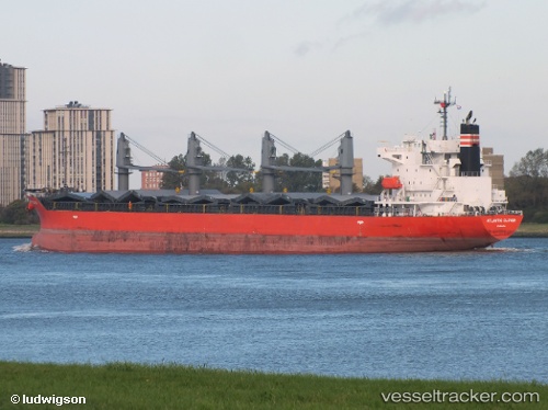
 MANTA NILGUN
Current Status
Where is the vessel?
MANTA NILGUN is currently in 20 nm NE of Nanao Pt, based on AIS data received less than 1h ago.
Latest AIS update:
Current position: 23.61727° N, 117.98392° E (20 nm NE of Nanao Pt)
Average speed (last 7 days): Loading…
Average speed (last 30 days): Loading…
Vessel profile: MANTA NILGUN is a General Cargo Ship with dimensions 28m x 180m.
This page combines live AIS, route history, probable destination signals, nearby traffic, and port activity for practical vessel monitoring.
The current position of vessel MANTA NILGUN is 23.61727 lat / 117.98392 lng. Updated: 2026-04-03 22:15:53 UTCNearest reference points:
- 18 nm SE of Jiuzhen
- 16 nm SE of Jiuzhen
- Near GULEI
Currently sailing under the flag of Marshall Islands ![]()
MANTA NILGUN built in 2011 year
Deadweight:
33671 tDetails:
Live Vessel MANTA NILGUN Analytics (details, animations, etc.)
Recent AIS points (UTC):
2026-04-03 16:11:53 UTC · 24.42241, 118.97512 · SOG 10 kn · COG 228°2026-04-03 18:13:43 UTC · 24.16103, 118.66580 · SOG 12.2 kn · COG 229°
2026-04-03 19:38:27 UTC · 23.95814, 118.43423 · SOG 12.4 kn · COG 227°
2026-04-03 22:15:53 UTC · 23.61727, 117.98392 · SOG 11.8 kn · COG 229°