 vesseltracker.com
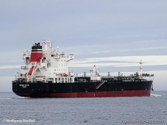
 SEA ALTUS
Current Status
Where is the vessel?
SEA ALTUS is currently in 25 nm S of ADRA, based on AIS data received less than 1h ago.
Latest AIS update:
Current position: 36.32939° N, 3.03289° W (25 nm S of ADRA)
Average speed (last 7 days): Loading…
Average speed (last 30 days): Loading…
Vessel profile: SEA ALTUS is a Chemical/Oil Products Tanker with dimensions 183m x 32m.
This page combines live AIS, route history, probable destination signals, nearby traffic, and port activity for practical vessel monitoring.
The current position of vessel SEA ALTUS is 36.32939 lat / -3.03289 lng. Updated: 2026-04-04 16:17:06 UTCNearest reference points:
- 29 nm S of Carchuna
- 23 nm S of Carchuna
- Near ADRA
Currently sailing under the flag of Marshall Islands ![]()
SEA ALTUS built in 2017 year
Deadweight:
39999 tDetails:
Live Vessel SEA ALTUS Analytics (details, animations, etc.)
Recent AIS points (UTC):
2026-04-04 10:11:07 UTC · 36.81203, -1.64176 · SOG 12.2 kn · COG 229°2026-04-04 11:42:57 UTC · 36.61192, -1.92948 · SOG 11.7 kn · COG 224°
2026-04-04 14:15:16 UTC · 36.40305, -2.51103 · SOG 12.8 kn · COG 260°
2026-04-04 16:17:06 UTC · 36.32939, -3.03289 · SOG 13 kn · COG 262°