 vesseltracker.com
 CHANDRAKANT
Current Status
Where is the vessel?
CHANDRAKANT is currently in Open sea, approx. 415 nm off the nearest listed port, based on AIS data received less than 1h ago.
Latest AIS update:
Current position: 12.84162° S, 5.40733° E (Open sea, approx. 415 nm off the nearest listed port)
Average speed (last 7 days): Loading…
Average speed (last 30 days): Loading…
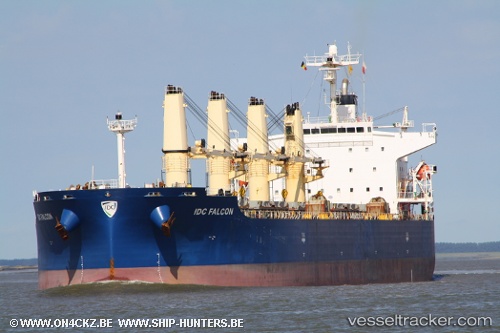
Vessel profile: CHANDRAKANT is a Bulk Carrier with dimensions 32m x 190m.
This page combines live AIS, route history, probable destination signals, nearby traffic, and port activity for practical vessel monitoring.
The current position of vessel CHANDRAKANT is -12.84162 lat / 5.40733 lng. Updated: 2026-04-19 03:58:33 UTCNearest reference points:
- Open sea, approx. 415 nm off the nearest listed port
- Open sea, approx. 417 nm off the nearest listed port
- Open sea, approx. 419 nm off the nearest listed port
Currently sailing under the flag of Marshall Islands ![]()
CHANDRAKANT built in 2006 year
Deadweight:
55803 tDetails:
Live Vessel CHANDRAKANT Analytics (details, animations, etc.)
Recent AIS points (UTC):
2026-04-18 21:38:26 UTC · -13.86850, 5.95355 · SOG 10.7 kn · COG 331°2026-04-18 23:50:44 UTC · -13.51273, 5.76518 · SOG 11 kn · COG 332°
2026-04-19 01:13:14 UTC · -13.28973, 5.64960 · SOG 10.9 kn · COG 331°
2026-04-19 03:58:33 UTC · -12.84162, 5.40733 · SOG 11 kn · COG 330°