 vesseltracker.com
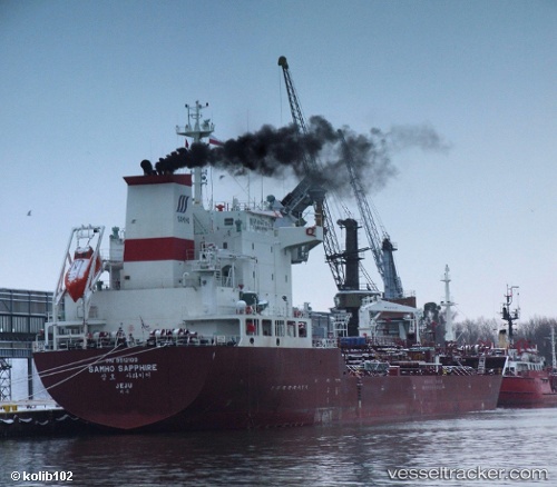
 SKY BLUE
Current Status
Where is the vessel?
SKY BLUE is currently in 185 nm E of Abakaliki, based on AIS data received less than 1h ago.
Latest AIS update:
Current position: 5.97772° N, 89.08175° E (185 nm E of Abakaliki)
Average speed (last 7 days): Loading…
Average speed (last 30 days): Loading…
Vessel profile: SKY BLUE is a Oil/Chemical Tanker with dimensions m x m.
This page combines live AIS, route history, probable destination signals, nearby traffic, and port activity for practical vessel monitoring.
The current position of vessel SKY BLUE is 5.97772 lat / 89.08175 lng. Updated: 2026-04-21 02:30:40 UTCNearest reference points:
- 243 nm E of Abakaliki
Currently sailing under the flag of Marshall Islands ![]()
Details:
Live Vessel SKY BLUE Analytics (details, animations, etc.)
Recent AIS points (UTC):
2026-04-20 22:15:28 UTC · 5.94528, 88.20628 · SOG 12.3 kn · COG -1°2026-04-20 23:33:32 UTC · 5.95732, 88.47727 · SOG 12.4 kn · COG 88°
2026-04-21 00:57:23 UTC · 5.96158, 88.77255 · SOG 12.3 kn · COG 89°
2026-04-21 02:30:40 UTC · 5.97772, 89.08175 · SOG 11.8 kn · COG -1°