 vesseltracker.com
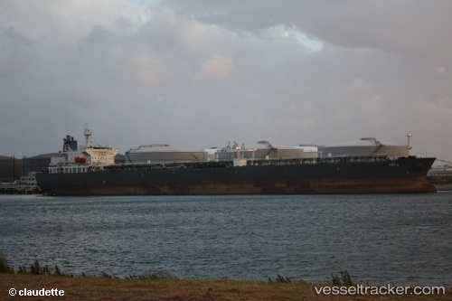
 LV ESTIA
Current Status
Where is the vessel?
LV ESTIA is currently in 76 nm W of Wadduwa, based on AIS data received less than 1h ago.
Latest AIS update:
Current position: 6.18952° N, 78.72593° E (76 nm W of Wadduwa)
Average speed (last 7 days): Loading…
Average speed (last 30 days): Loading…
Vessel profile: LV ESTIA is a Crude Oil Tanker with dimensions m x m.
This page combines live AIS, route history, probable destination signals, nearby traffic, and port activity for practical vessel monitoring.
The current position of vessel LV ESTIA is 6.18952 lat / 78.72593 lng. Updated: 2026-04-22 13:12:38 UTCNearest reference points:
- 82 nm W of Moratuwa
- 67 nm SW of Moratuwa
- 90 nm W of Moratuwa
Currently sailing under the flag of Marshall Islands ![]()
Details:
Live Vessel LV ESTIA Analytics (details, animations, etc.)
Recent AIS points (UTC):
2026-04-22 09:26:38 UTC · 6.50500, 78.02167 · SOG 12 kn · COG -1°2026-04-22 10:53:33 UTC · 6.38667, 78.29667 · SOG 12 kn · COG -1°
2026-04-22 11:26:37 UTC · 6.34167, 78.39833 · SOG 12 kn · COG -1°
2026-04-22 13:12:38 UTC · 6.18952, 78.72593 · SOG 12.5 kn · COG 109°