 vesseltracker.com
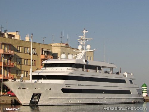
Vessel Katina IMO: 9712838, MMSI: 538071106 Cruise Ship
UTC, 4.20333, 73.51333, course: -1, speed: 0
UTC, 4.20462, 73.51421, course: -1, speed: 0.1
2026-03-03 10:01:43 UTC, 4.20462, 73.51444, course: 4, speed: 0.1
Live AIS position:
UTC. Near Hulhulé Island),
updated 2026-03-03 10:01:43 UTC.
Find the position of the vessel Katina on the map. The latter are known coordinates and path.
marine traffic ship tracker show on live map
The current position of vessel Katina is 4.20462 lat / 73.51444 lng. Updated: 2026-03-03 10:01:43 UTCCurrently sailing under the flag of Marshall Is
Details:
Last coordinates of the vessel:
UTC, 4.20472, 73.51424, course: -1, speed: 0UTC, 4.20333, 73.51333, course: -1, speed: 0
UTC, 4.20462, 73.51421, course: -1, speed: 0.1
2026-03-03 10:01:43 UTC, 4.20462, 73.51444, course: 4, speed: 0.1