 vesseltracker.com
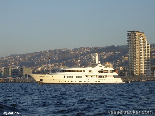
Vessel SAMIRA IMO: 1007536, MMSI: 538071689 Houseboat
UTC, 44.09078, 9.86555, course: 209, speed: 0.2
UTC, 44.09079, 9.86553, course: 209, speed: 0
2026-03-04 04:10:38 UTC, 44.09080, 9.86552, course: 209, speed: 0.3
Live AIS position:
UTC. Near La Spezia),
updated 2026-03-04 04:10:38 UTC.
Find the position of the vessel SAMIRA on the map. The latter are known coordinates and path.
marine traffic ship tracker show on live map
The current position of vessel SAMIRA is 44.09080 lat / 9.86552 lng. Updated: 2026-03-04 04:10:38 UTCCurrently sailing under the flag of Marshall Islands
SAMIRA built in 2003 year
Deadweight:
0 tDetails:
Last coordinates of the vessel:
UTC, 44.09078, 9.86554, course: 208, speed: 0UTC, 44.09078, 9.86555, course: 209, speed: 0.2
UTC, 44.09079, 9.86553, course: 209, speed: 0
2026-03-04 04:10:38 UTC, 44.09080, 9.86552, course: 209, speed: 0.3