 vesseltracker.com
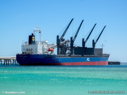
Ikan Landuk
Current StatusWhere is the vessel?
Ikan Landuk is currently in Near Plaju, Sumatra, based on AIS data received about 1h ago.
Latest AIS update:
Current position: 2.97701° S, 104.85380° E (Near Plaju, Sumatra)
Average speed (last 7 days): Loading…
Average speed (last 30 days): Loading…
Vessel profile: Ikan Landuk is a Bulk Carrier with dimensions 29m x 177m.
This page combines live AIS, route history, probable destination signals, nearby traffic, and port activity for practical vessel monitoring.
The current position of vessel Ikan Landuk is -2.97701 lat / 104.85380 lng. Updated: 2026-04-08 11:27:09 UTCNearest reference points:
- Near Kertapati
- 36 nm SW of Exspan
- 38 nm SW of PANGKAL BALAM
Details:
Live Vessel Ikan Landuk Analytics (details, animations, etc.)
Recent AIS points (UTC):
2026-04-08 06:12:09 UTC · -2.97699, 104.85379 · SOG 0 kn · COG 232°2026-04-08 08:06:19 UTC · -2.97710, 104.85376 · SOG 0.1 kn · COG 231°
2026-04-08 09:27:09 UTC · -2.97701, 104.85374 · SOG 0.1 kn · COG 231°
2026-04-08 11:27:09 UTC · -2.97701, 104.85380 · SOG 0.1 kn · COG 231°