 vesseltracker.com
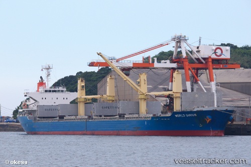
Vessel Taurus IMO: 9591064, MMSI: 563058600 Bulk Carrier
UTC, 1.84833, 104.99333, course: -1, speed: 0
UTC, 1.84866, 104.99367, course: 325, speed: 0.1
2026-02-04 10:04:12 UTC, 1.84796, 104.99239, course: 352, speed: 0.7
Live AIS position:
UTC. 58 nm NE of PENGERANG),
updated 2026-02-04 10:04:12 UTC.
Find the position of the vessel Taurus on the map. The latter are known coordinates and path.
marine traffic ship tracker show on live map
The current position of vessel Taurus is 1.84796 lat / 104.99239 lng. Updated: 2026-02-04 10:04:12 UTCDetails:
Last coordinates of the vessel:
UTC, 1.84833, 104.99333, course: -1, speed: 0UTC, 1.84833, 104.99333, course: -1, speed: 0
UTC, 1.84866, 104.99367, course: 325, speed: 0.1
2026-02-04 10:04:12 UTC, 1.84796, 104.99239, course: 352, speed: 0.7