 vesseltracker.com
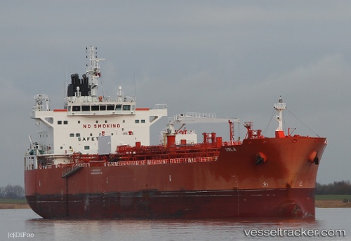
 VELA
VELA
Current Status
Where is the vessel?
VELA is currently in 47 nm SE of Mörbylånga, based on AIS data received about 1h ago.
Latest AIS update:
Current position: 55.88632° N, 17.23839° E (47 nm SE of Mörbylånga)
Average speed (last 7 days): Loading…
Average speed (last 30 days): Loading…
Vessel profile: VELA is a Tanker B with dimensions m x m.
This page combines live AIS, route history, probable destination signals, nearby traffic, and port activity for practical vessel monitoring.
The current position of vessel VELA is 55.88632 lat / 17.23839 lng. Updated: 2026-04-04 23:33:50 UTCNearest reference points:
- 31 nm NW of Ustka
- Near WLADYSLAWOWO
- Near Karlskrona
Currently sailing under the flag of Singapore ![]()
Details:
Live Vessel VELA Analytics (details, animations, etc.)
Recent AIS points (UTC):
2026-04-04 13:04:01 UTC · 55.69853, 20.20503 · SOG 9.7 kn · COG 264°2026-04-04 13:04:01 UTC · 55.69853, 20.20503 · SOG 9.7 kn · COG 264°
2026-04-04 22:17:21 UTC · 55.83324, 17.62257 · SOG 11 kn · COG 282°
2026-04-04 23:33:50 UTC · 55.88632, 17.23839 · SOG 10.4 kn · COG 263°