 vesseltracker.com
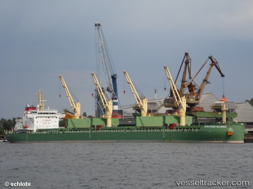
Vessel Strategic Alliance IMO: 9648075, MMSI: 563642000 Bulk Carrier
UTC, 30.08067, -90.90614, course: 346, speed: 0.2
UTC, 30.08085, -90.90636, course: 350, speed: 0
2026-02-19 03:54:50 UTC, 30.08090, -90.90636, course: 350, speed: 0
Live AIS position:
UTC. Near Welcome),
updated 2026-02-19 03:54:50 UTC.
Find the position of the vessel Strategic Alliance on the map. The latter are known coordinates and path.
marine traffic ship tracker show on live map
The current position of vessel Strategic Alliance is 30.08090 lat / -90.90636 lng. Updated: 2026-02-19 03:54:50 UTCCurrently sailing under the flag of Singapore
Strategic Alliance built in 2014 year
Deadweight:
39848 tDetails:
Last coordinates of the vessel:
UTC, 30.01488, -90.73176, course: 279, speed: 9.5UTC, 30.08067, -90.90614, course: 346, speed: 0.2
UTC, 30.08085, -90.90636, course: 350, speed: 0
2026-02-19 03:54:50 UTC, 30.08090, -90.90636, course: 350, speed: 0