 vesseltracker.com
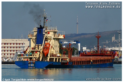
Find the position of the vessel Che on the map. The latter are known coordinates and path.
marine traffic ship tracker show on live map
The current position of vessel Che is 40.8395 lat / 29.2714 lng. Updated: 2025-07-13 04:18:06 UTCCurrently sailing under the flag of Tuvalu
Che built in 2006 year
Deadweight:
4987 tDetails:
Last coordinates of the vessel:
UTC, 40.8395, 29.2714, course: -1, speed: 0UTC, 40.8395, 29.2714, course: -1, speed: 0
UTC, 40.8395, 29.2714, course: -1, speed: 0
2025-07-13 04:18:06 UTC, 40.8395, 29.2714, course: -1, speed: 0