 vesseltracker.com
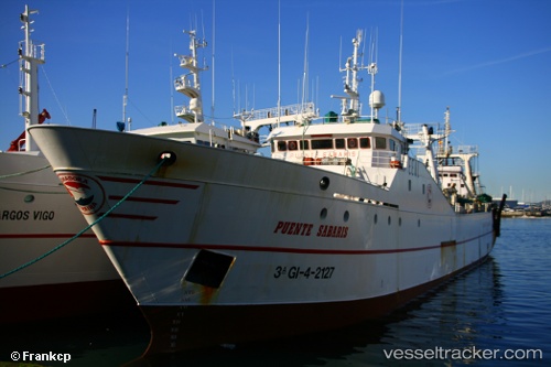
 PUENTE SABARIS
Current Status
Where is the vessel?
PUENTE SABARIS is currently in 39 nm W of Kommetjie, based on AIS data received about 1h ago.
Latest AIS update:
Current position: 34.09568° S, 17.53998° E (39 nm W of Kommetjie)
Average speed (last 7 days): Loading…
Average speed (last 30 days): Loading…
Vessel profile: PUENTE SABARIS is a Fishing Vessel with dimensions 11m x 70m.
This page combines live AIS, route history, probable destination signals, nearby traffic, and port activity for practical vessel monitoring.
The current position of vessel PUENTE SABARIS is -34.09568 lat / 17.53998 lng. Updated: 2026-04-07 17:50:58 UTCNearest reference points:
- 12 nm W of ROBBEN ISLAND
- 18 nm SW of Cape Of Good Hope
- Near HOUT BAY
Currently sailing under the flag of South Africa ![]()
PUENTE SABARIS built in 1986 year
Deadweight:
1216 tDetails:
Live Vessel PUENTE SABARIS Analytics (details, animations, etc.)
Recent AIS points (UTC):
2026-04-07 12:02:55 UTC · -34.31244, 17.71874 · SOG 3.1 kn · COG 124°2026-04-07 14:13:58 UTC · -34.29475, 17.67323 · SOG 4.3 kn · COG 334°
2026-04-07 16:19:54 UTC · -34.17830, 17.58391 · SOG 4.1 kn · COG 342°
2026-04-07 17:50:58 UTC · -34.09568, 17.53998 · SOG 1.5 kn · COG 335°