 vesseltracker.com
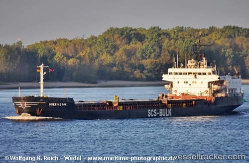
Vessel KUBROSLI Y IMO: 8000836, MMSI: 620797000 General Cargo Ship
UTC, 38.76930, 26.87722, course: -1, speed: 0
UTC, 38.77109, 26.87809, course: -1, speed: 0
2026-02-21 14:15:08 UTC, 38.77113, 26.87844, course: -1, speed: 0
Live AIS position:
UTC. Near Nemrut Bay),
updated 2026-02-21 14:15:08 UTC.
Find the position of the vessel KUBROSLI Y on the map. The latter are known coordinates and path.
marine traffic ship tracker show on live map
The current position of vessel KUBROSLI Y is 38.77113 lat / 26.87844 lng. Updated: 2026-02-21 14:15:08 UTCCurrently sailing under the flag of Comoros
KUBROSLI Y built in 1981 year
Deadweight:
11990 tDetails:
Last coordinates of the vessel:
UTC, 38.76878, 26.87748, course: -1, speed: 0UTC, 38.76930, 26.87722, course: -1, speed: 0
UTC, 38.77109, 26.87809, course: -1, speed: 0
2026-02-21 14:15:08 UTC, 38.77113, 26.87844, course: -1, speed: 0