 vesseltracker.com
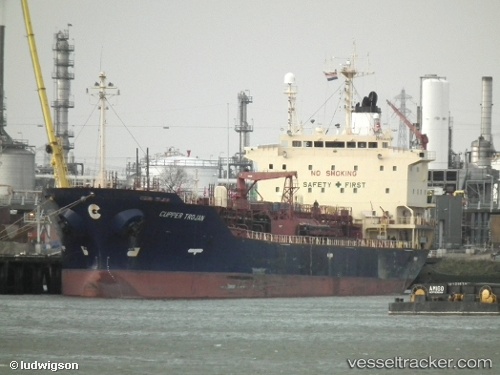
 SEA ROCK
Current Status
Where is the vessel?
SEA ROCK is currently in 38 nm N of AL SUWAIQ, based on AIS data received about 7d ago.
Latest AIS update:
Current position: 24.47285° N, 57.31737° E (38 nm N of AL SUWAIQ)
Average speed (last 7 days): Loading…
Average speed (last 30 days): Loading…
Vessel profile: SEA ROCK is a Oil/Chemical Tanker with dimensions m x m.
This page combines live AIS, route history, probable destination signals, nearby traffic, and port activity for practical vessel monitoring.
The current position of vessel SEA ROCK is 24.47285 lat / 57.31737 lng. Updated: 2026-03-30 22:21:22 UTCNearest reference points:
- 42 nm SE of Offshore Fujairah
- 18 nm SE of SHINAS
- 17 nm SE of Shinas
Currently sailing under the flag of Comoros ![]()
Details:
Live Vessel SEA ROCK Analytics (details, animations, etc.)
Recent AIS points (UTC):
2026-03-30 22:09:05 UTC · 24.46398, 57.33621 · SOG 9.1 kn · COG 292°2026-03-30 22:21:22 UTC · 24.47285, 57.31737 · SOG 9.1 kn · COG -1°
2026-03-30 22:21:22 UTC · 24.47285, 57.31737 · SOG 9.1 kn · COG -1°
2026-03-30 22:21:22 UTC · 24.47285, 57.31737 · SOG 9.1 kn · COG -1°