 vesseltracker.com
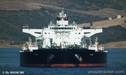
Vessel Tony IMO: 9432036, MMSI: 636014499 Crude Oil Tanker
UTC, 51.36760, 2.75315, course: 316, speed: 8.4
UTC, 51.76384, 2.64593, course: 350, speed: 12.4
2026-02-03 20:15:21 UTC, 52.08961, 2.69257, course: 12, speed: 10.9
Live AIS position:
UTC. 21 nm S of Craven Arms),
updated 2026-02-03 20:15:21 UTC.
Find the position of the vessel Tony on the map. The latter are known coordinates and path.
marine traffic ship tracker show on live map
The current position of vessel Tony is 52.08961 lat / 2.69257 lng. Updated: 2026-02-03 20:15:21 UTCDetails:
Last coordinates of the vessel:
UTC, 51.42245, 3.51312, course: 258, speed: 13.3UTC, 51.36760, 2.75315, course: 316, speed: 8.4
UTC, 51.76384, 2.64593, course: 350, speed: 12.4
2026-02-03 20:15:21 UTC, 52.08961, 2.69257, course: 12, speed: 10.9