 vesseltracker.com
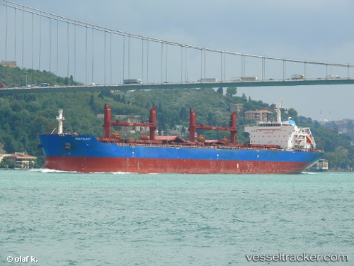
Vessel Oceanlady IMO: 9641364, MMSI: 636015760 Bulk Carrier
UTC, 29.39966, -94.81809, course: 157, speed: 12
UTC, 29.25793, -94.67140, course: 346, speed: 0.7
2026-01-28 07:54:56 UTC, 29.25824, -94.67284, course: 40, speed: 0
Live AIS position:
UTC. Near Galveston),
updated 2026-01-28 07:54:56 UTC.
Find the position of the vessel Oceanlady on the map. The latter are known coordinates and path.
marine traffic ship tracker show on live map
The current position of vessel Oceanlady is 29.25824 lat / -94.67284 lng. Updated: 2026-01-28 07:54:56 UTCCurrently sailing under the flag of Liberia
Oceanlady built in 2013 year
Deadweight:
56816 tDetails:
Last coordinates of the vessel:
UTC, 29.73382, -95.12803, course: 82, speed: 6.2UTC, 29.39966, -94.81809, course: 157, speed: 12
UTC, 29.25793, -94.67140, course: 346, speed: 0.7
2026-01-28 07:54:56 UTC, 29.25824, -94.67284, course: 40, speed: 0