 vesseltracker.com
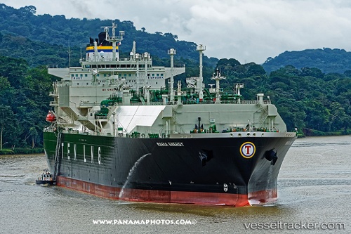
Maria Energy
Current StatusWhere is the vessel?
Maria Energy is currently in 65 nm E of Karkar Is, based on AIS data received less than 1h ago.
Latest AIS update:
Current position: 4.67433° S, 147.04939° E (65 nm E of Karkar Is)
Average speed (last 7 days): Loading…
Average speed (last 30 days): Loading…
Vessel profile: Maria Energy is a Lng Tanker with dimensions 46m x 289m.
This page combines live AIS, route history, probable destination signals, nearby traffic, and port activity for practical vessel monitoring.
The current position of vessel Maria Energy is -4.67433 lat / 147.04939 lng. Updated: 2026-04-23 04:47:50 UTCNearest reference points:
- Near Lae
- 42 nm E of Tami Island
Details:
Live Vessel Maria Energy Analytics (details, animations, etc.)
Recent AIS points (UTC):
2026-04-23 00:21:46 UTC · -5.65434, 147.53651 · SOG 14.4 kn · COG 336°2026-04-23 00:57:54 UTC · -5.51863, 147.48833 · SOG 14.2 kn · COG 346°
2026-04-23 04:08:23 UTC · -4.82815, 147.11288 · SOG 15 kn · COG 340°
2026-04-23 04:47:50 UTC · -4.67433, 147.04939 · SOG 15 kn · COG 338°