 vesseltracker.com
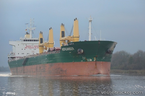
Vessel Bona IMO: 9594432, MMSI: 636018042 Bulk Carrier
UTC, 18.41993, -70.01618, course: 43, speed: 0
UTC, 18.41833, -70.01500, course: -1, speed: 0
2026-01-28 19:46:23 UTC, 18.41833, -70.01500, course: -1, speed: 0
Live AIS position:
UTC. Near Rio Haina),
updated 2026-01-28 19:46:23 UTC.
Find the position of the vessel Bona on the map. The latter are known coordinates and path.
marine traffic ship tracker show on live map
The current position of vessel Bona is 18.41833 lat / -70.01500 lng. Updated: 2026-01-28 19:46:23 UTCCurrently sailing under the flag of Liberia
Bona built in 2012 year
Deadweight:
32844 tDetails:
Last coordinates of the vessel:
UTC, 18.41995, -70.01618, course: 43, speed: 0UTC, 18.41993, -70.01618, course: 43, speed: 0
UTC, 18.41833, -70.01500, course: -1, speed: 0
2026-01-28 19:46:23 UTC, 18.41833, -70.01500, course: -1, speed: 0