 vesseltracker.com
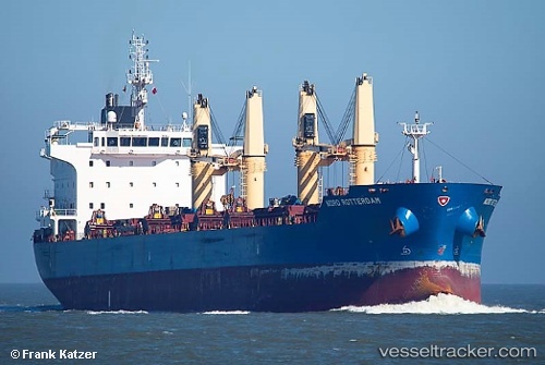
Vessel Serenity IMO: 9544762, MMSI: 636019169 Bulk Carrier
UTC, 38.80219, 26.89417, course: 183, speed: 0.1
UTC, 38.80197, 26.89523, course: 212, speed: 0
2026-02-21 18:09:57 UTC, 38.80218, 26.89515, course: 200, speed: 0.3
Live AIS position:
UTC. Near Nemrut Bay),
updated 2026-02-21 18:09:57 UTC.
Find the position of the vessel Serenity on the map. The latter are known coordinates and path.
marine traffic ship tracker show on live map
The current position of vessel Serenity is 38.80218 lat / 26.89515 lng. Updated: 2026-02-21 18:09:57 UTCDetails:
Last coordinates of the vessel:
UTC, 38.80198, 26.89287, course: 149, speed: 0UTC, 38.80219, 26.89417, course: 183, speed: 0.1
UTC, 38.80197, 26.89523, course: 212, speed: 0
2026-02-21 18:09:57 UTC, 38.80218, 26.89515, course: 200, speed: 0.3