 vesseltracker.com
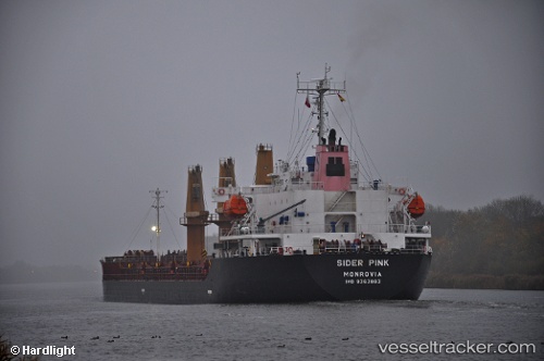
Vessel PETREL S IMO: 9363883, MMSI: 636019558 Bulk Carrier
UTC, 52.29276, -5.53961, course: 210, speed: 6.2
UTC, 52.09897, -5.71844, course: 205, speed: 6.6
2026-03-14 07:21:50 UTC, 51.96857, -5.80742, course: 204, speed: 7.2
Live Vessel PETREL S Analytics (details, animations, etc.)
Live AIS position: UTC. 21 nm W of Saint David's), updated 2026-03-14 07:21:50 UTC.Find the position of the vessel PETREL S on the map. The latter are known coordinates and path.
marine traffic ship tracker show on live map
The current position of vessel PETREL S is 51.96857 lat / -5.80742 lng. Updated: 2026-03-14 07:21:50 UTCCurrently sailing under the flag of Liberia
PETREL S built in 2006 year
Deadweight:
19101 tDetails:
Last coordinates of the vessel:
UTC, 52.55488, -5.37213, course: 202, speed: 7.6UTC, 52.29276, -5.53961, course: 210, speed: 6.2
UTC, 52.09897, -5.71844, course: 205, speed: 6.6
2026-03-14 07:21:50 UTC, 51.96857, -5.80742, course: 204, speed: 7.2