 vesseltracker.com
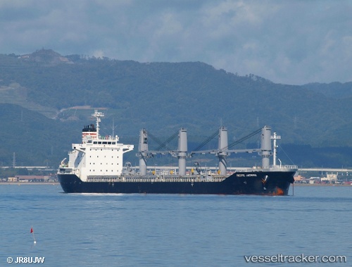
 RUBATO
Current Status
Where is the vessel?
RUBATO is currently in Near Conakry, based on AIS data received about 249d ago.
Latest AIS update:
Current position: 9.51762° N, 13.71729° W (Near Conakry)
Average speed (last 7 days): Loading…
Average speed (last 30 days): Loading…
Vessel profile: RUBATO is a Bulk Carrier with dimensions 24m x 158m.
This page combines live AIS, route history, probable destination signals, nearby traffic, and port activity for practical vessel monitoring.
The current position of vessel RUBATO is 9.51762 lat / -13.71729 lng. Updated: 2025-08-16 13:07:03 UTCNearest reference points:
- Near Conakry
- 28 nm S of Conakry
- 49 nm S of Port de Boké
Currently sailing under the flag of Liberia ![]()
RUBATO built in 2010 year
Deadweight:
25159 tDetails:
Live Vessel RUBATO Analytics (details, animations, etc.)
Recent AIS points (UTC):
2025-08-16 13:07:03 UTC · 9.51762, -13.71729 · SOG 0 kn · COG 52°