 vesseltracker.com
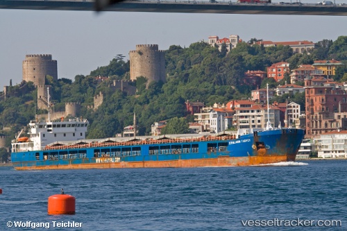
Find the position of the vessel Angora 2 on the map. The latter are known coordinates and path.
marine traffic ship tracker show on live map
The current position of vessel Angora 2 is 46.8769 lat / 37.7569 lng. Updated: 2024-04-26 03:19:56 UTCCurrently sailing under the flag of Liberia
Port of registry:
Valletta (capital of Malta)Gross tonnage:
5684Service entry:
2006-01-01T00:00:00ZDetails:
Last coordinates of the vessel:
UTC, 46.287, 37.2064, course: 19, speed: 7.4UTC, 46.287, 37.2064, course: 19, speed: 7.4
UTC, 46.8155, 37.4946, course: 25, speed: 7
2024-04-26 03:19:56 UTC, 46.8769, 37.7569, course: 70, speed: 6.8