 vesseltracker.com
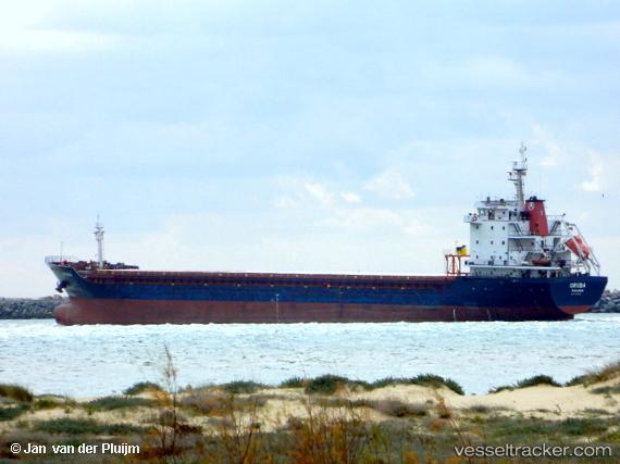
Vessel ORUBA IMO: 9430624, MMSI: 636020511 General Cargo Ship
UTC, 41.31901, 2.19428, course: 62, speed: 0.1
UTC, 41.31845, 2.19476, course: -1, speed: 0.1
2026-02-28 12:23:25 UTC, 41.34205, 2.15048, course: 6, speed: 0
Live AIS position:
UTC. Near Zona Franca de Barcelona),
updated 2026-02-28 12:23:25 UTC.
Find the position of the vessel ORUBA on the map. The latter are known coordinates and path.
marine traffic ship tracker show on live map
The current position of vessel ORUBA is 41.34205 lat / 2.15048 lng. Updated: 2026-02-28 12:23:25 UTCCurrently sailing under the flag of Liberia
ORUBA built in 2007 year
Deadweight:
10611 tDetails:
Last coordinates of the vessel:
UTC, 41.31940, 2.19421, course: 79, speed: 0UTC, 41.31901, 2.19428, course: 62, speed: 0.1
UTC, 41.31845, 2.19476, course: -1, speed: 0.1
2026-02-28 12:23:25 UTC, 41.34205, 2.15048, course: 6, speed: 0