 vesseltracker.com
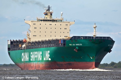
 GSL TEGEA
Current Status
Where is the vessel?
GSL TEGEA is currently in 160 nm E of Lacunza, based on AIS data received less than 1h ago.
Latest AIS update:
Current position: 41.99993° N, 16.77933° W (160 nm E of Lacunza)
Average speed (last 7 days): Loading…
Average speed (last 30 days): Loading…
Vessel profile: GSL TEGEA is a Container Ship with dimensions m x m.
This page combines live AIS, route history, probable destination signals, nearby traffic, and port activity for practical vessel monitoring.
The current position of vessel GSL TEGEA is 41.99993 lat / -16.77933 lng. Updated: 2026-04-14 23:38:22 UTCCurrently sailing under the flag of Liberia ![]()
Details:
Live Vessel GSL TEGEA Analytics (details, animations, etc.)
Recent AIS points (UTC):
2026-04-14 17:05:58 UTC · 42.00300, -19.00430 · SOG 15.5 kn · COG 95°2026-04-14 18:42:45 UTC · 41.99665, -18.44653 · SOG 15.2 kn · COG 88°
2026-04-14 21:40:47 UTC · 42.00262, -17.44557 · SOG 14.9 kn · COG 92°
2026-04-14 23:38:22 UTC · 41.99993, -16.77933 · SOG 15.1 kn · COG 90°