 vesseltracker.com
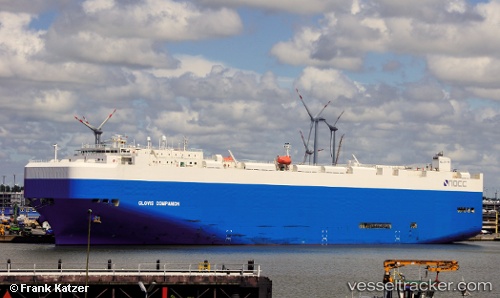
 GLOVIS COMPANION
Current Status
Where is the vessel?
GLOVIS COMPANION is currently in Open sea (no nearby ports in database), based on AIS data received about 1h ago.
Latest AIS update:
Current position: 32.05382° N, 161.76456° W (Open sea (no nearby ports in database))
Average speed (last 7 days): Loading…
Average speed (last 30 days): Loading…
Vessel profile: GLOVIS COMPANION is a Vehicles Carrier with dimensions 32m x 200m.
This page combines live AIS, route history, probable destination signals, nearby traffic, and port activity for practical vessel monitoring.
The current position of vessel GLOVIS COMPANION is 32.05382 lat / -161.76456 lng. Updated: 2026-04-07 19:56:11 UTCNearest reference points:
- Open sea (no nearby ports in database)
- Open sea, approx. 482 nm off the nearest listed port
- Open sea, approx. 463 nm off the nearest listed port
Currently sailing under the flag of Liberia ![]()
GLOVIS COMPANION built in 2010 year
Deadweight:
18671 tDetails:
Live Vessel GLOVIS COMPANION Analytics (details, animations, etc.)
Recent AIS points (UTC):
2026-04-07 13:35:30 UTC · 32.03462, -164.03450 · SOG 18 kn · COG 86°2026-04-07 16:27:11 UTC · 32.04871, -163.00574 · SOG 18.1 kn · COG 87°
2026-04-07 18:00:06 UTC · 32.05337, -162.45306 · SOG 17.4 kn · COG 87°
2026-04-07 19:56:11 UTC · 32.05382, -161.76456 · SOG 18.1 kn · COG 89°