 vesseltracker.com
Find the position of the vessel NIMET TORLAK on the map. The latter are known coordinates and path.
marine traffic ship tracker show on live map
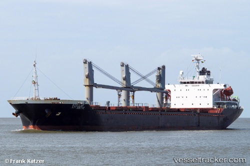
The current position of vessel NIMET TORLAK is 52.1276 lat / 3.11711 lng. Updated: 2024-05-04 17:38:40 UTCCurrently sailing under the flag of Liberia
NIMET TORLAK built in 2003 year
Deadweight:
18820 tGross tonnage:
11349Service entry:
2003-01-01T00:00:00ZManufacturer:
Hakata ShipbuildingDetails:
Last coordinates of the vessel:
UTC, 52.1276, 3.11711, course: 39, speed: 9.3UTC, 52.1276, 3.11711, course: 39, speed: 9.3
UTC, 52.1276, 3.11711, course: 39, speed: 9.3
2024-05-04 17:38:40 UTC, 52.1276, 3.11711, course: 39, speed: 9.3
The ship also appears on the maps: