 vesseltracker.com
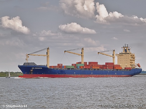
Vessel MSC PAMIRA III IMO: 9239903, MMSI: 636021246 Container Ship
UTC, 36.79153, 34.63912, course: 3, speed: 0
UTC, 36.79148, 34.63917, course: 3, speed: 0
2026-03-06 21:30:15 UTC, 36.79151, 34.63913, course: 3, speed: 0
Live Vessel MSC PAMIRA III Analytics (details, animations, etc.)
Live AIS position: UTC. Near Mersin), updated 2026-03-06 21:30:15 UTC.Find the position of the vessel MSC PAMIRA III on the map. The latter are known coordinates and path.
marine traffic ship tracker show on live map
The current position of vessel MSC PAMIRA III is 36.79151 lat / 34.63913 lng. Updated: 2026-03-06 21:30:15 UTCCurrently sailing under the flag of Liberia
MSC PAMIRA III built in 2002 year
Deadweight:
35414 tDetails:
Last coordinates of the vessel:
UTC, 36.79154, 34.63911, course: 3, speed: 0UTC, 36.79153, 34.63912, course: 3, speed: 0
UTC, 36.79148, 34.63917, course: 3, speed: 0
2026-03-06 21:30:15 UTC, 36.79151, 34.63913, course: 3, speed: 0