 vesseltracker.com
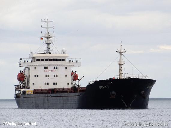
Vessel STAR II IMO: 9476068, MMSI: 636021503 Bulk Carrier
UTC, 40.84065, 29.27238, course: 59, speed: 0
UTC, 40.84060, 29.27235, course: 59, speed: 0
2026-01-31 15:26:59 UTC, 40.84067, 29.27236, course: 59, speed: 0
Live AIS position:
UTC. Near TUZLA),
updated 2026-01-31 15:26:59 UTC.
Find the position of the vessel STAR II on the map. The latter are known coordinates and path.
marine traffic ship tracker show on live map
The current position of vessel STAR II is 40.84067 lat / 29.27236 lng. Updated: 2026-01-31 15:26:59 UTCCurrently sailing under the flag of Liberia
STAR II built in 2007 year
Deadweight:
16884 tDetails:
Last coordinates of the vessel:
UTC, 40.84065, 29.27235, course: 59, speed: 0UTC, 40.84065, 29.27238, course: 59, speed: 0
UTC, 40.84060, 29.27235, course: 59, speed: 0
2026-01-31 15:26:59 UTC, 40.84067, 29.27236, course: 59, speed: 0