 vesseltracker.com
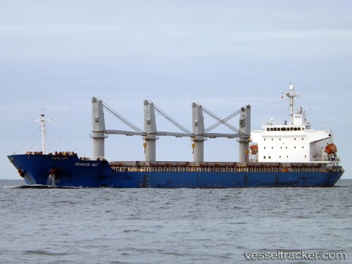
 MANTA SENA
Current Status
Where is the vessel?
MANTA SENA is currently in Near Saint-Martin-du-Manoir, based on AIS data received about 1h ago.
Latest AIS update:
Current position: 49.48333° N, 0.15500° W (Near Saint-Martin-du-Manoir)
Average speed (last 7 days): Loading…
Average speed (last 30 days): Loading…
Vessel profile: MANTA SENA is a General Cargo Ship with dimensions 177m x 28m.
This page combines live AIS, route history, probable destination signals, nearby traffic, and port activity for practical vessel monitoring.
The current position of vessel MANTA SENA is 49.48333 lat / -0.15500 lng. Updated: 2026-04-07 21:22:11 UTCNearest reference points:
- Near TROUVILLE-SUR-MER
- Near Le Havre
- Near Caen
Currently sailing under the flag of Liberia ![]()
MANTA SENA built in 2006 year
Deadweight:
32354 tDetails:
Live Vessel MANTA SENA Analytics (details, animations, etc.)
Recent AIS points (UTC):
2026-04-07 15:24:54 UTC · 49.48314, -0.15664 · SOG 0 kn · COG 105°2026-04-07 17:45:55 UTC · 49.48251, -0.15703 · SOG 0.1 kn · COG 82°
2026-04-07 20:13:03 UTC · 49.48261, -0.15708 · SOG 0 kn · COG 86°
2026-04-07 21:22:11 UTC · 49.48333, -0.15500 · SOG 0 kn · COG -1°