 vesseltracker.com
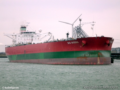
Vessel SUEZ FURY IMO: 9301536, MMSI: 636021811 Crude Oil Tanker
UTC, 36.88425, -9.77822, course: 343, speed: 10
UTC, 36.91777, -9.78780, course: 343, speed: 9.9
2026-01-17 11:52:13 UTC, 37.16347, -9.86339, course: 343, speed: 9.7
Live AIS position:
UTC. 46 nm W of Vila do Bispo),
updated 2026-01-17 11:52:13 UTC.
Find the position of the vessel SUEZ FURY on the map. The latter are known coordinates and path.
marine traffic ship tracker show on live map
The current position of vessel SUEZ FURY is 37.16347 lat / -9.86339 lng. Updated: 2026-01-17 11:52:13 UTCCurrently sailing under the flag of Liberia
SUEZ FURY built in 2006 year
Deadweight:
158933 tDetails:
Last coordinates of the vessel:
UTC, 36.75636, -9.74180, course: 342, speed: 10.1UTC, 36.88425, -9.77822, course: 343, speed: 10
UTC, 36.91777, -9.78780, course: 343, speed: 9.9
2026-01-17 11:52:13 UTC, 37.16347, -9.86339, course: 343, speed: 9.7