 vesseltracker.com
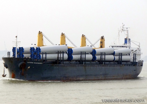
Vessel DEMA M IMO: 9255074, MMSI: 636021877 General Cargo Ship
UTC, 23.03933, 113.51941, course: -1, speed: 0
UTC, 23.03927, 113.51938, course: -1, speed: 0
2026-01-30 14:05:27 UTC, 23.03929, 113.51933, course: -1, speed: 0
Live AIS position:
UTC. Near MCID - Private Terminal),
updated 2026-01-30 14:05:27 UTC.
Find the position of the vessel DEMA M on the map. The latter are known coordinates and path.
marine traffic ship tracker show on live map
The current position of vessel DEMA M is 23.03929 lat / 113.51933 lng. Updated: 2026-01-30 14:05:27 UTCCurrently sailing under the flag of Liberia
DEMA M built in 2003 year
Deadweight:
32259 tDetails:
Last coordinates of the vessel:
UTC, 23.03934, 113.51949, course: -1, speed: 0UTC, 23.03933, 113.51941, course: -1, speed: 0
UTC, 23.03927, 113.51938, course: -1, speed: 0
2026-01-30 14:05:27 UTC, 23.03929, 113.51933, course: -1, speed: 0