 vesseltracker.com
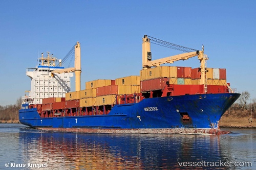
Find the position of the vessel MSC NORDEROOG F on the map. The latter are known coordinates and path.
marine traffic ship tracker show on live map
The current position of vessel MSC NORDEROOG F is 26.33463 lat / -79.22437 lng. Updated: 2025-10-24 04:52:03 UTCCurrently sailing under the flag of Liberia
MSC NORDEROOG F built in 2004 year
Deadweight:
16921 tDetails:
Last coordinates of the vessel:
UTC, 26.17041, -79.75246, course: 81, speed: 11.4UTC, 26.24213, -79.52204, course: 80, speed: 11.2
UTC, 26.25538, -79.47794, course: 75, speed: 11.7
2025-10-24 04:52:03 UTC, 26.33463, -79.22437, course: 75, speed: 10.9